 Abraham Lincoln
If given the truth, the people can be depended upon to meet any national crisis...
 Guildford news...
for Guildford people, brought to you by Guildford reporters - Guildford's own news service
Guildford Snippets – Do You Know? No.8
Published on: 24 Jun, 2018
Updated on: 24 Jun, 2018
by Nick Bale, Guildford Town Guides
Distances from Guildford were always measured from the Maypole – an enormous mast-like structure with cross beams.

A painting of a maypole in 18th century, possibly Weybridge. (c) Elmbridge Museum; supplied by The Public Catalogue Foundation.
Where was the Maypole sited?
a. By the Town Bridge?
b. At the corner of High Street and Quarry Street?
c. At the junction of London Road and Epsom Road?
If you know the answer, please leave a reply in the box below. The answer will be given in a week’s time with the next Guildford question.
You can find out more about the Guildford Story on a guided walk starting at Tunsgate Arch at 2.30 pm on Wednesday, June 27 and Saturday, June 30.
Many thanks to John Lomas who responded to last week’s question. The answer was that the other memorial plaque is for the victims of the Guildford pub bombings in October 1974.
Visit www.guildfordwalks.org.uk for further information.
Responses to Guildford Snippets – Do You Know? No.8
Leave a Comment Cancel replyPlease see our comments policy. All comments are moderated and may take time to appear.

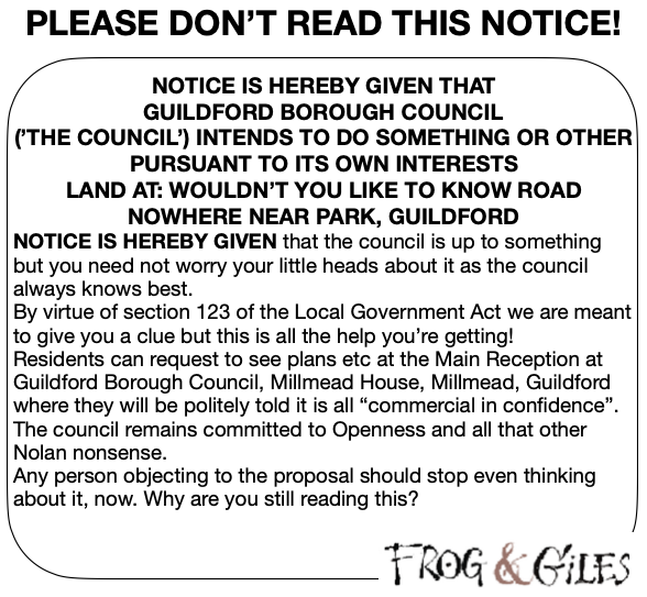
See Dragon story: GBC’s Explanation of Major Land Sale Notice Error ‘Borders on Arrogant’ Says Councillor


Recent Articles
- Notice: Dance with Junction 9 to Raise Money for Charities
- Mistreated Former Sub-postmasters Receive Standing Ovation
- Man Arrested for Attempted Rape in West Horsley
- Letter: Cross-party Effort Required to Improve Police Resourcing in Surrey
- Surrey Table Tennis Association News May 2024
- Challengers Announces Closure of Guildford Pre-school
- Letter: This Is a Mess of Scandalous Proportions
- Notice: Nature Bingo for Children
- Letter: GBC Is In a Mess, Agreed – But I See No Sign of a Plan
- New County Council Divisional Boundaries Proposed


Recent Comments
- John Ferns on Guildford Police Station to Close – Officers to Move to Mount Browne HQ
- Barry C Williams on Letter: Cross-party Effort Required to Improve Police Resourcing in Surrey
- Anthony Mallard on Guildford Police Station to Close – Officers to Move to Mount Browne HQ
- Frank Emery on Guildford Police Station to Close – Officers to Move to Mount Browne HQ
- David Smith on Guildford Police Station to Close – Officers to Move to Mount Browne HQ
- Jim Allen on Guildford Police Station to Close – Officers to Move to Mount Browne HQ
Search in Site
Media Gallery
Dragon Interview: Local Artist Leaves Her Mark At One of England’s Most Historic Buildings
January 21, 2023 / No Comment / Read MoreDragon Interview: Lib Dem Planning Chair: ‘Current Policy Doesn’t Work for Local People’
January 19, 2023 / No Comment / Read MoreA3 Tunnel in Guildford ‘Necessary’ for New Homes, Says Guildford’s MP
January 10, 2023 / No Comment / Read More‘Madness’ for London Road Scheme to Go Ahead Against ‘Huge Opposition’, Says SCC Leader
January 6, 2023 / No Comment / Read MoreCouncillor’s Son Starts Campaign for More Consultation on North Street Plan
December 30, 2022 / No Comment / Read MoreCounty Council Climbs Down Over London Road Works – Further ‘Engagement’ Period Announced
December 14, 2022 / No Comment / Read MoreDragon Interview: GBC Reaction to the Government’s Expected Decision to Relax Housing Targets
December 7, 2022 / No Comment / Read MoreHow Can Our Town Centre Businesses Recover? Watch the Shop Front Debate
May 18, 2020 / No Comment / Read More


John Lomas
June 25, 2018 at 8:11 am
I would choose from those options the Epsom Road / London Road junction.
I suspect that that was also the point where two turnpikes met.
An 1871 oldmap 1:500 shows a house called Poyle House at the corner and the wording “site of something” (unreadable at online definition). Though a later map shows the “Site of St Thomas’s Hospital”.
https://www.old-maps.co.uk/#/Map/500165/149698/13/100346
Incidently those early maps call Upper High Street, Spital Street, which I suppose is because it links with either St Thomas’s Hospital or Abbot’s Hospital sites.
Dave Middleton
June 26, 2018 at 10:36 am
I’m going to take a guess that it was High Street junction with Quarry Street.