- Stay Connected

Socialize

 Abraham Lincoln
If given the truth, the people can be depended upon to meet any national crisis...
Abraham Lincoln
If given the truth, the people can be depended upon to meet any national crisis...

 Guildford news...
for Guildford people, brought to you by Guildford reporters - Guildford's own news service
Guildford news...
for Guildford people, brought to you by Guildford reporters - Guildford's own news service
Highways Bulletin: Improving Road Safety Near Schools
Published on: 8 Mar, 2026
Updated on: 8 Mar, 2026
Th e information for this bulletin comes from Surrey County Council and is written by them.
Report potholes and highway issues here.

Making journeys to school safer
Improving road safety around schools remains a top priority, and our School Streets Programme is helping create safer, healthier journeys for children and families across the county.
What is a School Street?
A School Street temporarily restricts traffic on roads outside a school during busy drop-off and pick-up times. This means the road becomes a pedestrian and cycle-only zone for a set period in the morning and afternoon. Parents and carers are encouraged to walk, scoot or cycle with their children, or park further away and walk the final part of the journey.
Exemptions apply for residents living within the zone, carers, Blue Badge holders and Special Educational Needs and Disabilities (SEND) school transport.
The aim is simple: reduce traffic at the school gates, improve air quality and make it safer and easier for children to travel actively.
Proven Results in Surrey
The first School Street was introduced at Farnham Heath End School in April 2025. The results have been impressive, with a 62% reduction in vehicles during school drop-off and pick-up times, falling from 1,227 vehicle movements per week to just 470.
This was followed by a scheme at Potters Gate Church of England Primary School, further supporting safer journeys for local families.
What’s Next?
From Monday 11 May, four roads around Danetree Primary School in Ewell will operate as School Streets between 8am-9am and 2.30pm-3.45pm. This will be Surrey’s largest School Street zone to date. Keep up to date with the changes on our Danetree School commonplace webpage.
We are also seeking views on proposed schemes at:
- St Thomas of Canterbury Primary School (Guildford)
- Cranmore Primary School (Esher)
- Ewell Castle Primary School (Ewell)
Residents and school communities are encouraged to share their feedback online.

For details of roadworks in the Guildford area please click here.
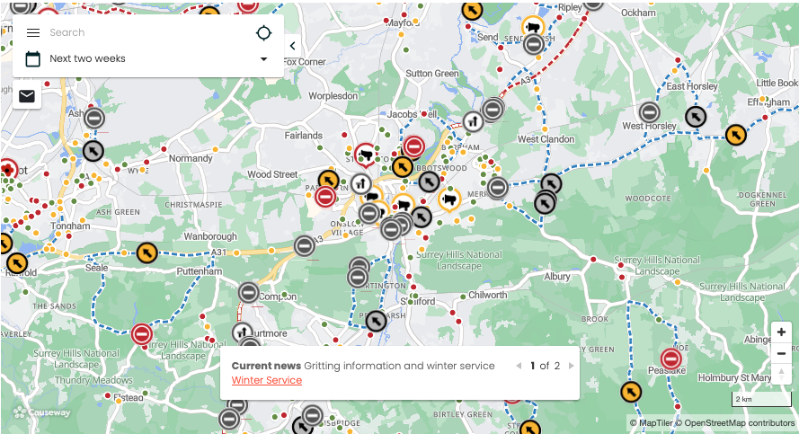
This map image is illustrative only. Please follow link above for the current map on the SCC website.
Share This Post


I'm living well for nothing at all! (See: No Trifling Matter: Magpie Trapped in Godalming Sainsbury’s)


Next stop, Debt Chasm! (See: We Should All Be Outraged About the Failure to Deal with Legacy Debt)


Recent Comments