- Stay Connected

Socialize

 Abraham Lincoln
If given the truth, the people can be depended upon to meet any national crisis...
Abraham Lincoln
If given the truth, the people can be depended upon to meet any national crisis...

 Guildford news...
for Guildford people, brought to you by Guildford reporters - Guildford's own news service
Guildford news...
for Guildford people, brought to you by Guildford reporters - Guildford's own news service
Photo Feature: Shalford Snow Drone
Published on: 26 Jan, 2021
Updated on: 28 Jan, 2021
Local news photographer Jason Alden (www.jasonalden.com) sent in these fascinating pictures of Shalford under snow.
See what you can recognise. Click on any image to enlarge.
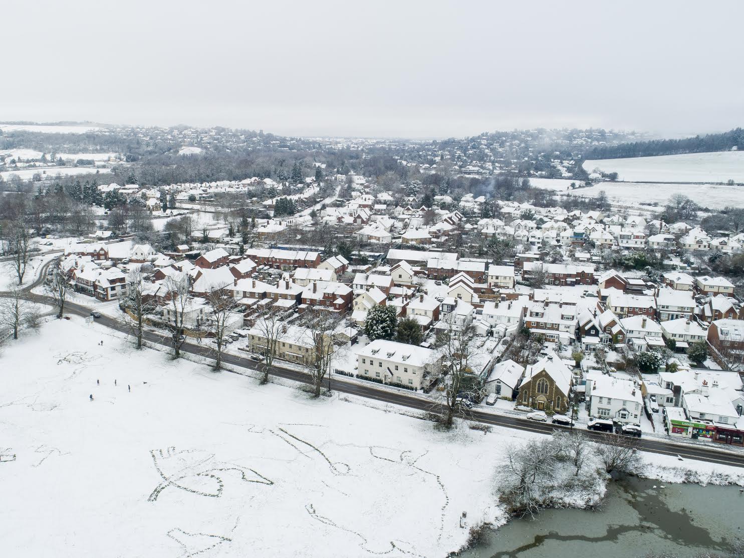
King’s Road Shalford, looking north-west. On the horizon the Guildford gap in the North Downs ridge. Can you spot St Catherine’s Hill? © Jason Alden www.jasonalden.com
Not very Florida like, weather-wise, in Florida Road, Shalford. Looking south, Shalford station is just beyond the end of the cul-de-sac. © Jason Alden www.jasonalden.com

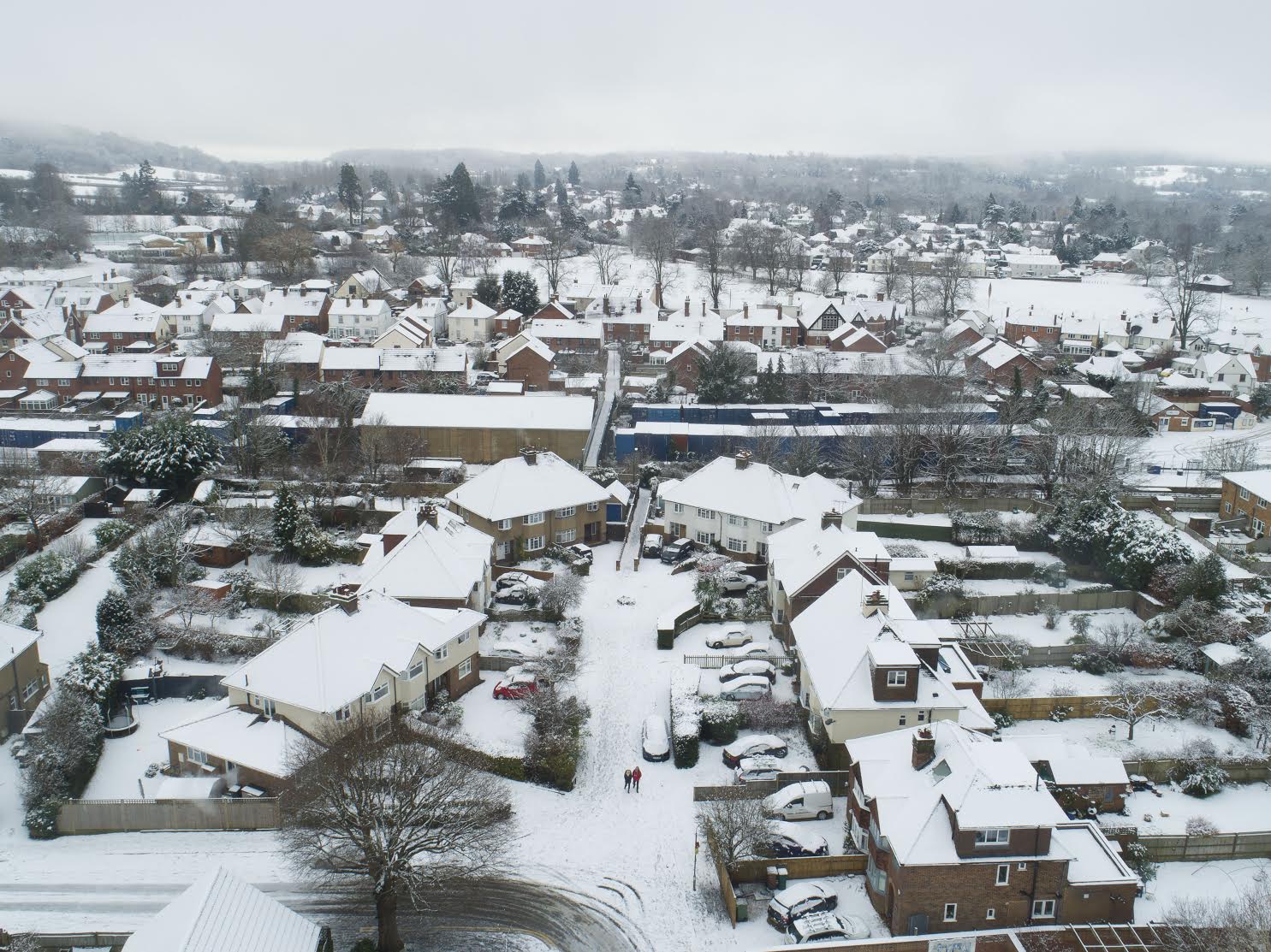
Looking east. Shalford Infant School by the junction of the A281 and Tillingbourne Road. © Jason Alden www.jasonalden.com
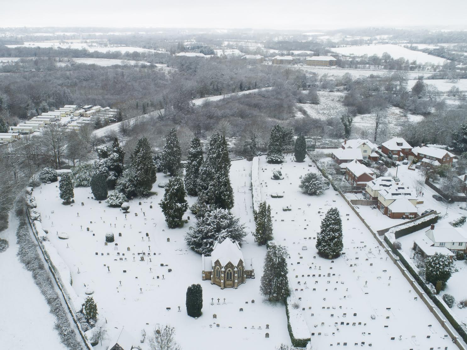
Looking west, Shalford cemetery with Dagley Lane and the Redhill to Guildford railway line behind, curving around to join the Portsmouth mainline in Artington. © Jason Alden – www.jasonalden.com

Looking west. Broom Island is centre-right, surrounded by the natural course of the River Wey in the foreground and the Wey Navigation running in almost a straight line from left to right. The lengthsman’s cottage “Rif Raff” and weir can be seen where the navigation joins the river. On the horizon is the Hog’s Back. © Jason Alden – www.jasonalden.com
Share This Post


I'm living well for nothing at all! (See: No Trifling Matter: Magpie Trapped in Godalming Sainsbury’s)


Next stop, Debt Chasm! (See: We Should All Be Outraged About the Failure to Deal with Legacy Debt)


Recent Comments