- Stay Connected

Socialize

 Abraham Lincoln
If given the truth, the people can be depended upon to meet any national crisis...
Abraham Lincoln
If given the truth, the people can be depended upon to meet any national crisis...

 Guildford news...
for Guildford people, brought to you by Guildford reporters - Guildford's own news service
Guildford news...
for Guildford people, brought to you by Guildford reporters - Guildford's own news service
Readers’ Photos of the Floods
Published on: 26 Dec, 2013
Updated on: 26 Dec, 2013
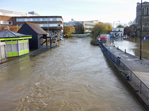
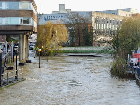
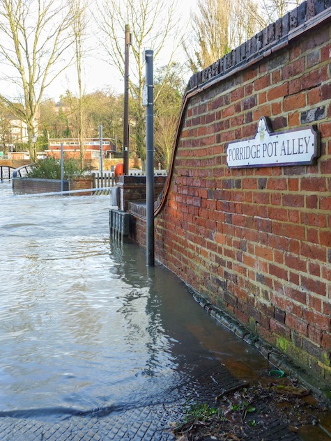
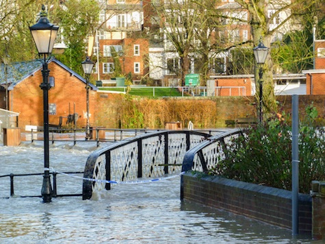
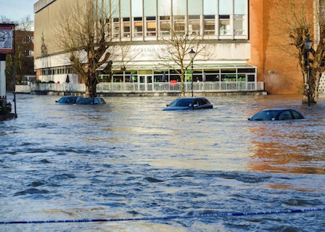
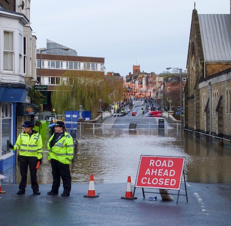
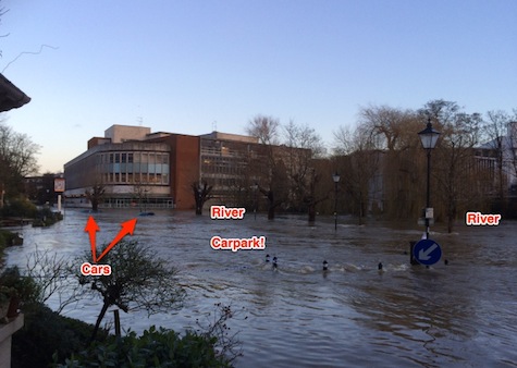
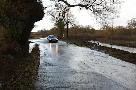
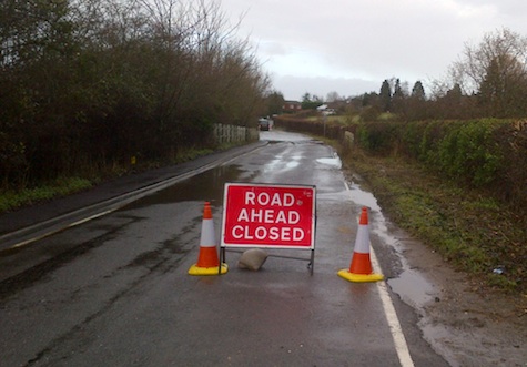
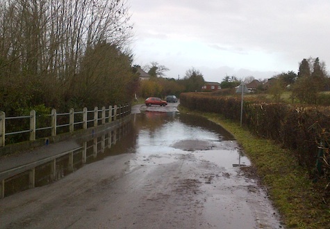
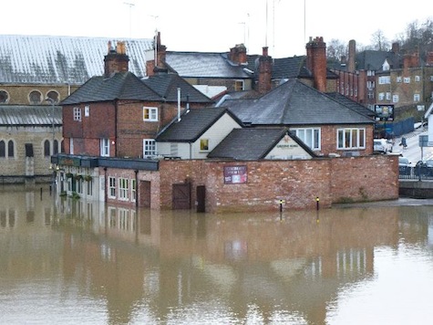
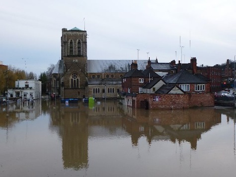
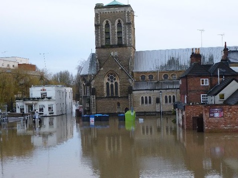
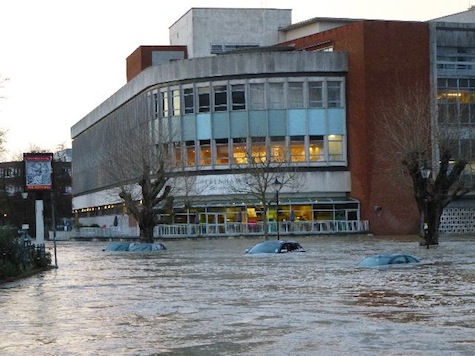
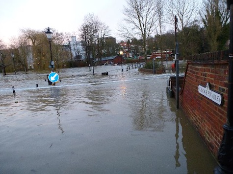
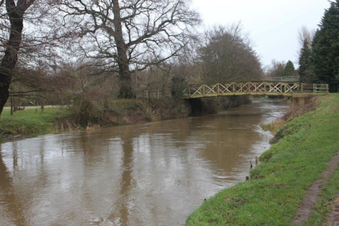
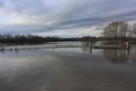
Some very good photos of the floods have been sent in by Dragon readers over the last 48 hours. Photos from Horsley and a report and photos from Burpham resident Jim Allen are included. Here they are…
From Mike Bennett
 .
.
 .
.
 .
.
 .
.
 .
.
 .
.
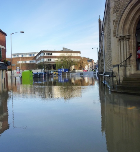
From Lorimer Burn
From Jules Cranwell in Horsley
 .
.
 .
.
 .
.
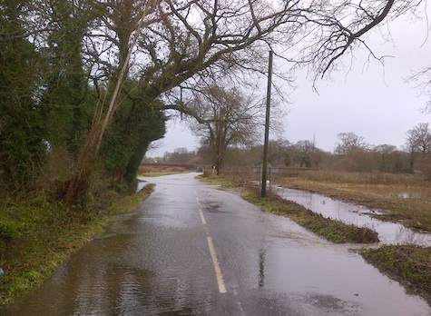
From Marcia Sorrell
 .
.
 .
.
 .
.
 .
.
 .
.
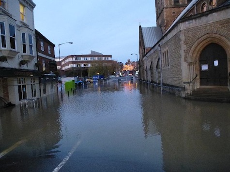
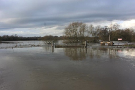
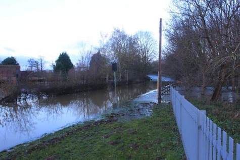
From Jim Allen in Burpham
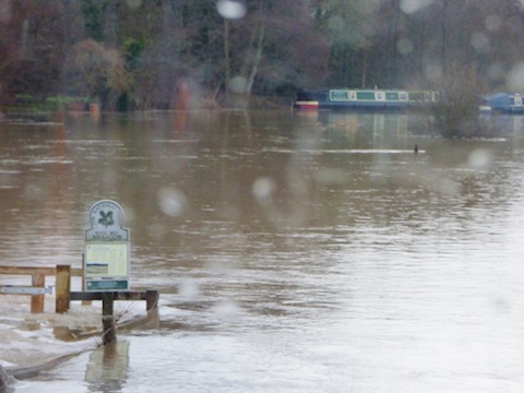
The photos sent are all taken Christmas eve and Christmas Day. The whole area was one vast sheet of water. The nature reserve was impassable and the tow path non-existent.
The river broke its banks at the nature reserve, Slyfield side, on Christmas Eve around midday but only along a short stretch of about 12 feet. By Christmas Day it was in effect 12 feet of bank left and the rest seemed to be a new course of the river.
Clay lane was impassable from about 3pm on Christmas Eve. Traffic coming off the A3 to avoid the south bound traffic jam managed to return onto the north bound A3 because the accident was south of the Clay Lane slip road.
Bowers Lock was over spilling down both sides into Sutton Park and the foot bridge was impassable. Anyway, there was no point in using it because from Bowers Lock to the Sutton Place entrance from the A3 was one sheet of water on Christmas Morning. Burpham court farm was an island!
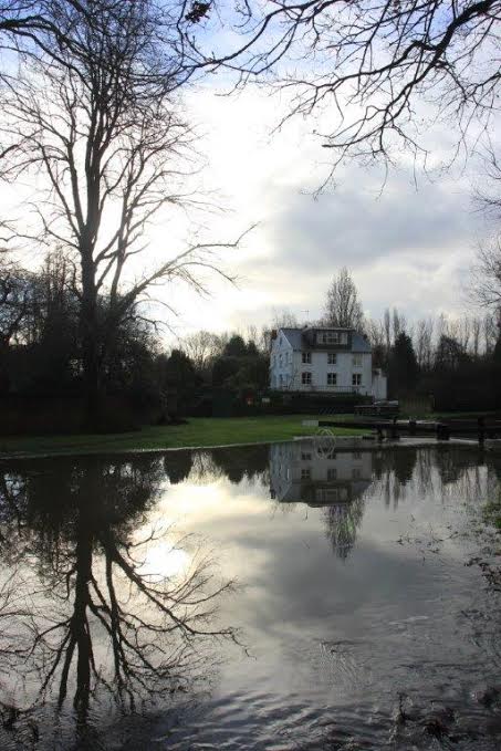
The River Wey in control, as it was before the flood.
Now it is The Amazon of Guildford Borough.
That’s weird thought there was a weir there!
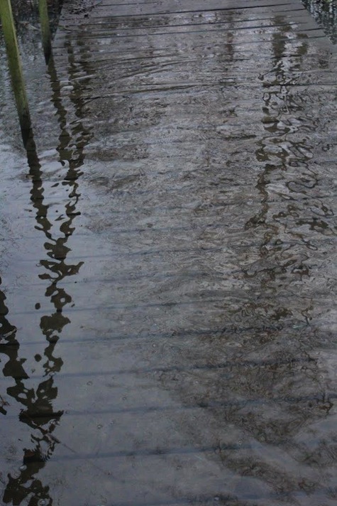
Walking on Water! Riverside nature reserve bridge board walk.
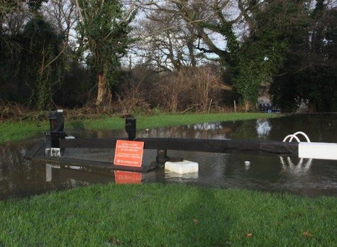
Somewhere under here is a set of lock gates and a ladder!
Bowers Mill – not all turbulent water – but 3 feet above normal level.
Clay Lane – the first of three ‘fords’ currently present!
Pictures by our resident birdwatcher Malcolm Fincham, that he took while coming home from his post round in Shamley Green on Christmas Eve afternoon. Busy traffic on the A281 at Shalford meant he made a detour heading west to the A3100!
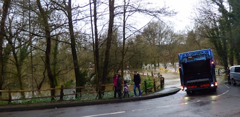
No way through to Bramley from Wonersh for the council dustcart.
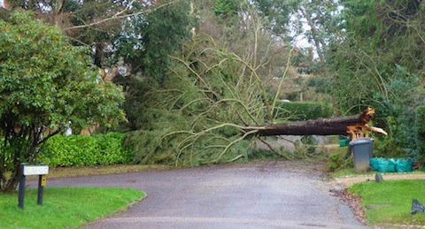
One of many trees down – This one in Wonesh Park.
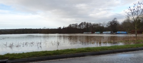
View from Broadford Road, Shalford. across the water meadows.
Can you spot the towpath?
More to follow. Please check back.
Share This Post


I'm living well for nothing at all! (See: No Trifling Matter: Magpie Trapped in Godalming Sainsbury’s)


Next stop, Debt Chasm! (See: We Should All Be Outraged About the Failure to Deal with Legacy Debt)


Recent Comments